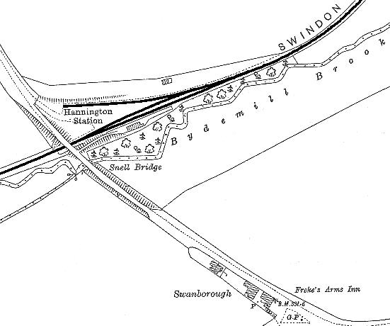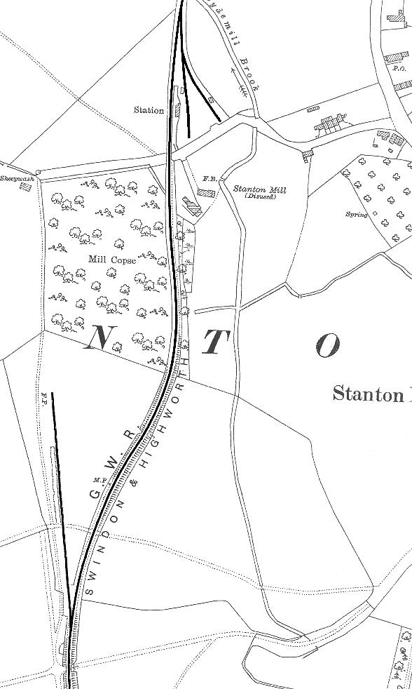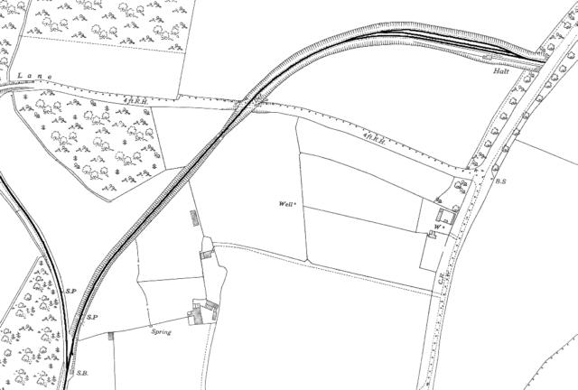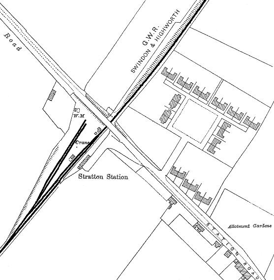
The sections shown here are from reprints of the Ordnance Survey 1:2500 scale maps from the period (1921 and 1941)
*** This page will take about 3 minutes to load fully on a 56K modem ***
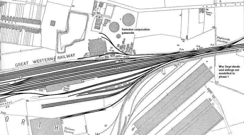
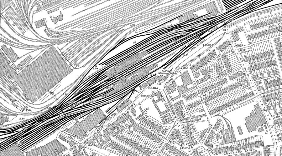
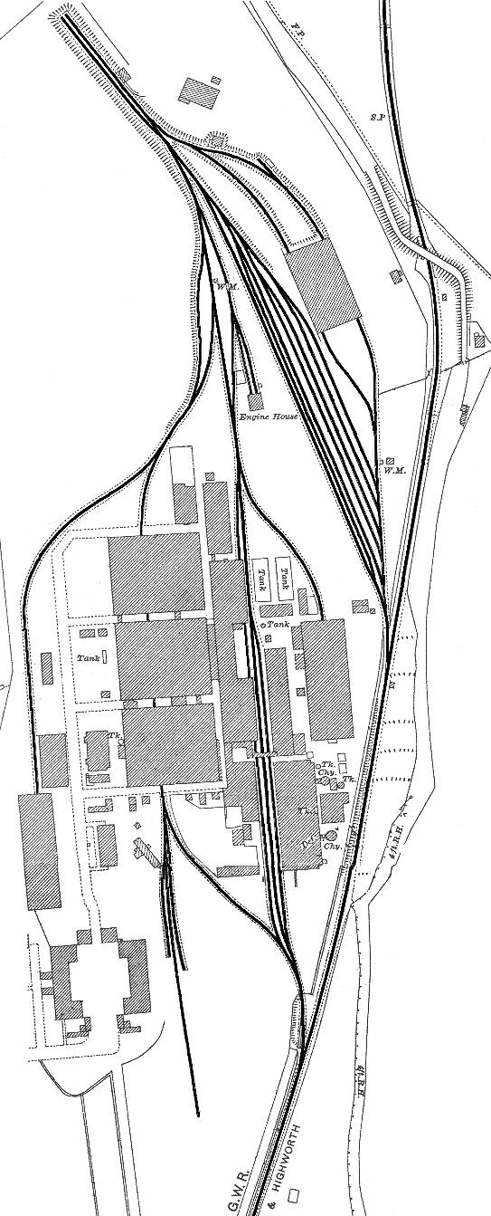
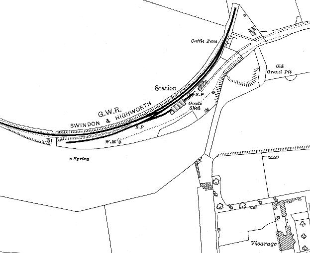
Starting at the Highworth (North) end and working in sequence down as far as Swindon... The lines marked with dark shading are the ones being laid for Phase 1 of this project - more of the Swindon works will be available for Phase 2.
Highworth
Swindon Station
Hannington
Stanton
Vickers Branch
Stratton
Nitrate Works
Highworth Jn & Swindon yard